Description
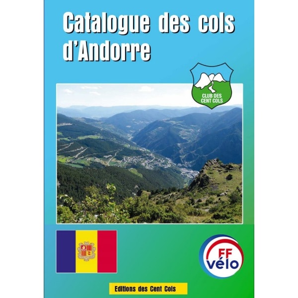
An initial list of 152 passes was drawn up by Alain Gillodes in 2007, according to the map of Andorra at 1:25,000 of the IGA (Institute of Applied Geography) of Barcelona and that of 1:40,000 of Editorial Alpina de Granollers. In 2014, RégisParaz repositioned all of Andorra’s passes on digital mapping (the passes had been spotted on paper maps; with measurement uncertainties and some unavoidable mistakes, the calculations of latitude and longitude coordinates had been distorted). This was an opportunity to make new discoveries and eliminate some cols with non-compliant topography. Some passes have changed parishes (the name of the provinces in Andorra) and the codes have been corrected and standardized by Graham Cutting. Patrick Schleppi has set up the map links.
The download catalogues page allows club members to download this and other catalogues free of charge.
Documents attached to the catalogue
· Guide to the Andorra pass catalogue (in French)
· Sample excerpt from the catalogue

